
Hydrogeochemistry & Hydrogeology
Know where your water goes, and what it picks up on the way.
Water quality at a receptor comes down to two things: the path the water takes and the reactions along it. A flow model alone tells you where seepage goes. It can't tell you what arrives. A geochemical model tells you what a source releases, but not when or where. We combine the two.
Our conceptual site models link hydrostratigraphy, recharge, gradients and groundwater–surface water exchange to the redox, saturation, sorption and dilution processes that control how solutes move.
This matters most in three places: where seepage from tailings or waste rock reaches groundwater, where dewatering reverses flow, and where a mine and a community draw on the same aquifer. We separate mine influence from natural background. We test whether attenuation along the flow path is real, and whether it will last.
When a numerical groundwater model is needed, we set its conceptual basis and calibration targets, then check the output for geochemical sense. Monitoring wells go on the most likely pathways, at the right depths. You get early warning of change, while there is still time to act.
Our experience covers mine sites, municipal water supply and federal regulatory review. We understand how mining affects groundwater, and how the communities around a mine depend on it.
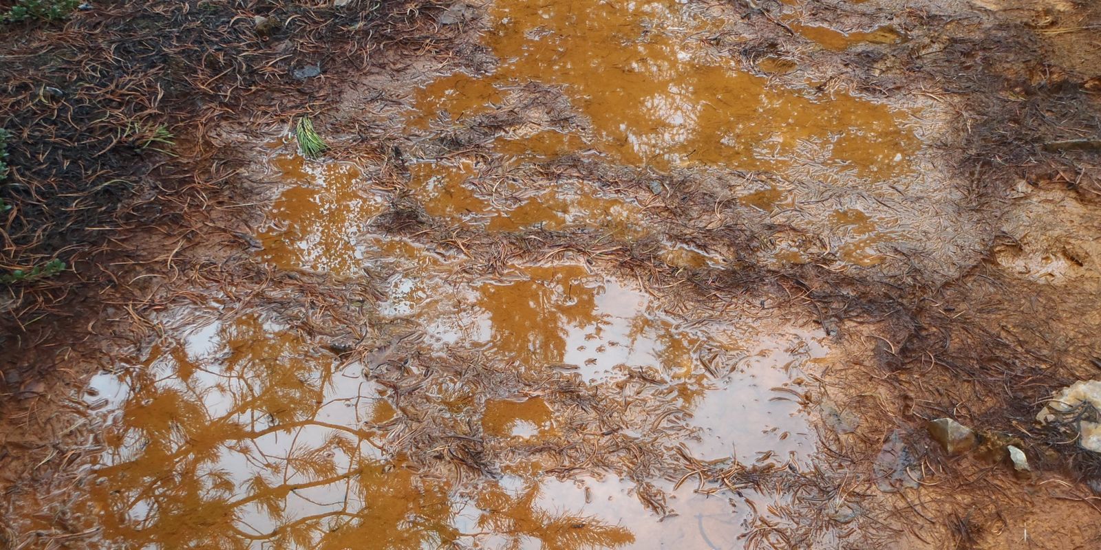 Iron oxyhydroxide at a seepBritish Columbia · Hydrogeochemistry & Hydrogeology
Our Services
Hydrogeochemical Conceptual Site Models
Flow and chemistry in one model. It explains what you see today and frames every prediction that follows.
Baseline Water Quality
Baseline programs that capture natural variability, so future change is caught early and attributed correctly.
Seepage Pathway and Plume Assessment
Seepage traced from source to receptor, with a clear answer on whether attenuation is working and for how long.
Groundwater–Surface Water Interaction
Exchange between aquifers and streams quantified. You know where mine-influenced groundwater surfaces, and at what load.
Monitoring Network Design
Wells on probable pathways, at the right depths, with trigger levels that warn operations early.
Groundwater Licensing Support
Licence applications under the BC Water Sustainability Act, backed by aquifer assessment and sustainable yield evaluation.
Questions we help you answer
- Where does seepage from this facility go, and how fast?
- Is the sulphate or metals in this well from the mine, or natural?
- Is attenuation lowering concentrations along the flow path, and will it last?
- Does the monitoring network sit on the pathways that matter?
- How will dewatering, or pit flooding at closure, change flow and chemistry?
Supporting your decisions
| Stage | Decision | DHT input |
|---|---|---|
| Baseline | Background conditions and natural variability | Baseline design and statistical interpretation |
| EA / permitting | Pathways and receptors for effects assessment | Integrated conceptual site model |
| Licensing | Groundwater use and sustainable yield | Aquifer assessment and licence support |
| Operations | Early detection of seepage or plume change | Monitoring network and trigger levels |
| Closure | Long-term pathway performance | Post-closure flow and chemistry evaluation |
Related services
Collaborate with DHT
Tell us what you're facing. We'll tell you how we can help.